Climbing the Rocky Mountains in search of Moose, Elk and Bighorn Sheep Above the Trees.

It is no wonder how the sublimity of the Rocky Mountains has attracted explorers, artists and conservations for over a century. All you have to do is look up.
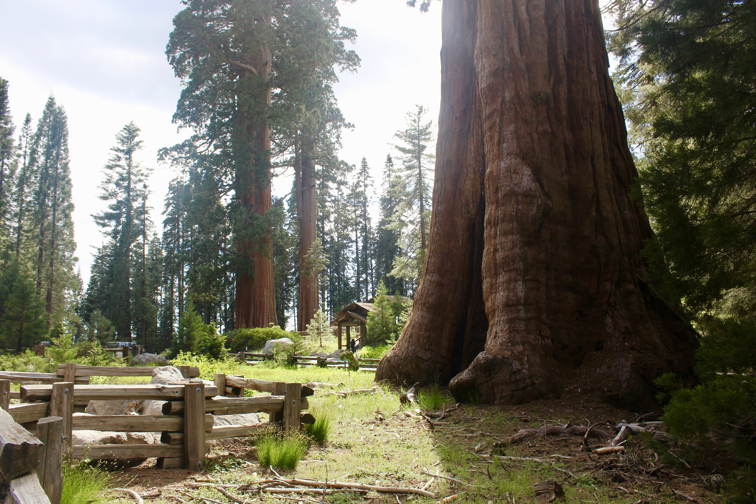
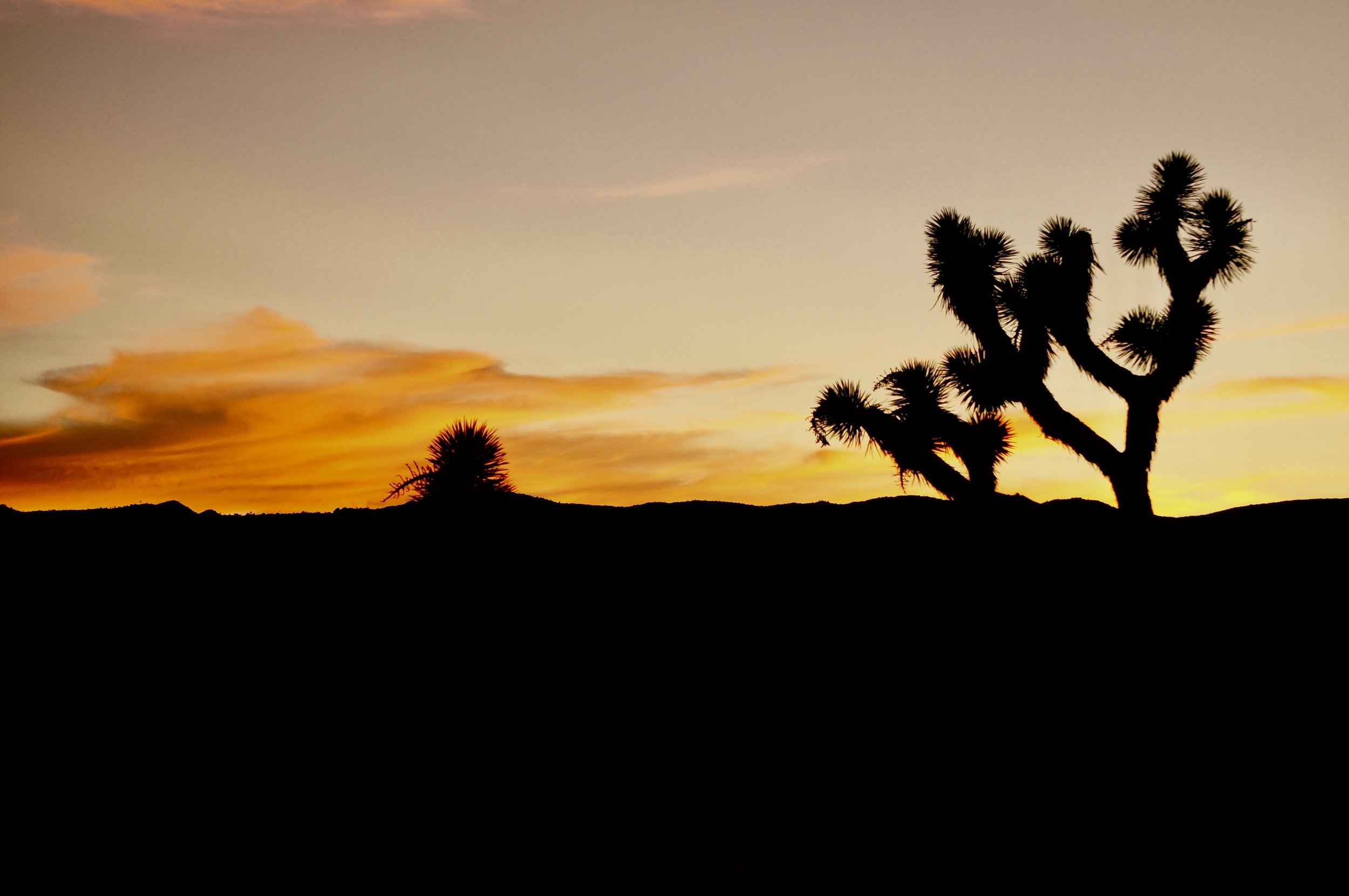
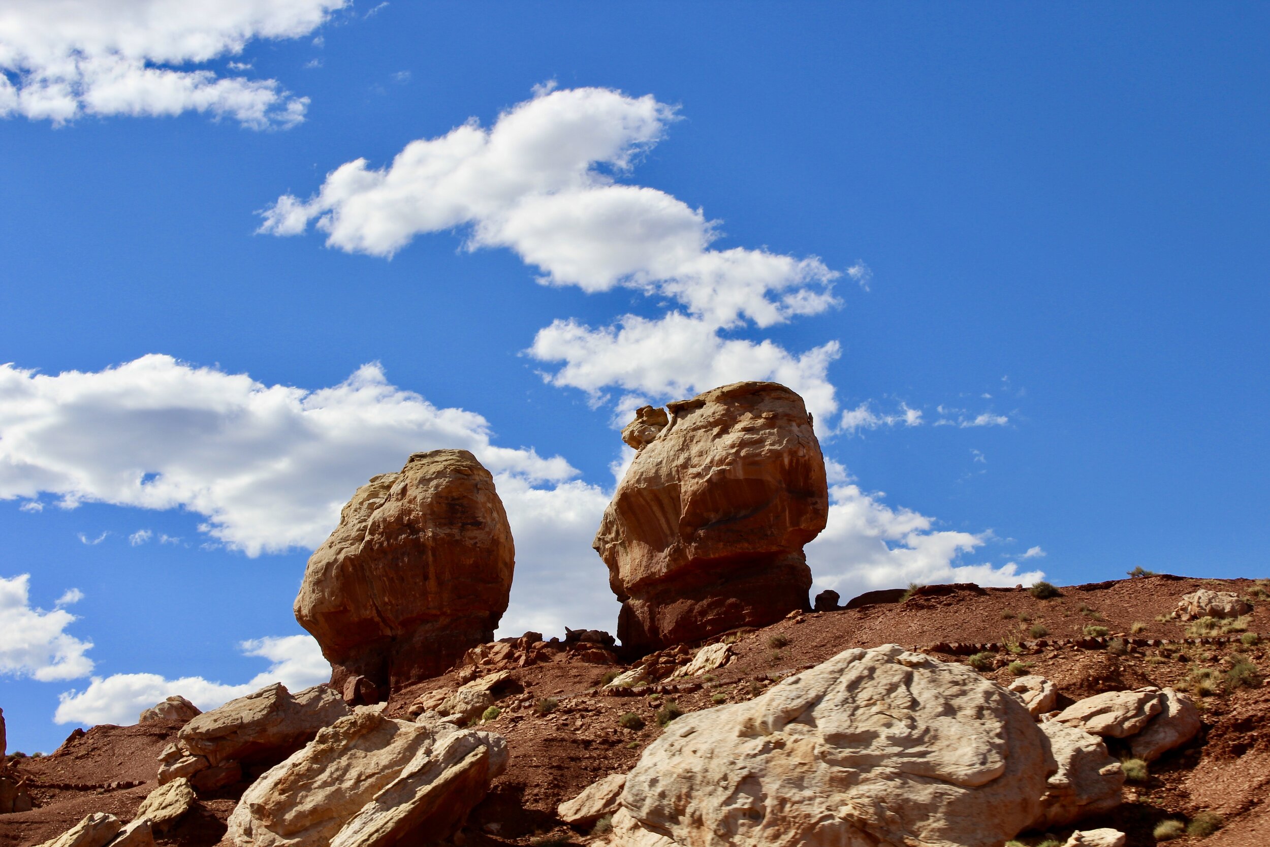
From June 6 to June 18, 2020, I drove from Los Angeles, California to Chicago, Illinois in a Buick Enclave. The car, filled to the brim with my college possessions, took me over 4,000 miles up the Pacific Coast, through the Sierras and Rockies, and across the Great Plains. It traversed the roads of ten different states and coasted along the scenic byways of six national parks. Along the way, we drove by Johnny Cash’s home in Casitas Springs, California and John Wayne’s birthplace in Winterset, Iowa. We visited tributes to iconic generals from Grant to Custer. We marveled at the world’s largest tree, reminisced over ancient history at one of the planet’s premier fossil sites, and braved the country’s highest paved road. We came across stately bull moose, emerald pools surrounded by red cliffs, scurrying prairie dogs, homemade apple pie, the world’s only corn palace, dinosaur tracks, a giant rock protruding out of the sea, “thunder beasts,” a double rainbow and the stuffed remains of the mythic jackalope among many other things. Climb in and buckle up as we embark on the Natural Curios Road Trip!
To read part one of the Naturally Curious Road Trip, Click Here! To read part two Click Here!

Weighing 1,800 pounds with an immense rack of antlers capable of stretching six feet across, it is no wonder that the moose has been enshrined as one of the greatest creatures in American folklore. Only dwarfed by the bison, the world’s largest deer has also been correlated with toughness in the American lexicon thanks to the indefatigable exploits of the nation’s 26th president, Theodore Roosevelt. Roosevelt often compared himself to a tenacious bull moose during his ill-fated presidential run in 1912. After being shot by a would-be assassin in Milwaukee, Roosevelt boomed, “It takes more than that to kill a bull moose!” He proceeded to give his 90 minute speech with the bullet still lodged in his chest, where it would remain for the rest of his life. Although the age of Roosevelt has faded into the nation’s collective memory, the great moose that inspired him still sparks awe to this day.

The first moose slowly made his way into the clear alpine waters, paying little attention to his crowd of fans assembled on the street.
And so it was for me when I first saw the monstrous creature ambling towards an alpine lake in Rocky Mountain National Park. I have had brushes with moose before in the Tetons, but never have I had the opportunity to gawk at a bull moose in the wild. I planted my finger on the shutter button, taking nearly half a memory card worth of pictures of the huge creature as it lazily inhaled mouthfuls of aquatic plants, indifferent to the near pile-up of cars his presence created on the adjacent road. The rest of the curious crowd was beginning to descend on me with cameras and phones poised mid-air when my Mom yelled to me from the car. Another moose had been spotted just up the road.
Rocky Mountain high
Rocky Mountain National Park is an incredible spot for wildlife viewing, home to nearly 70 species of mammals from black bears to yellow-bellied marmots. This animal hotspot is possible because of an altitude range of over 6,000 feet as the park stretches into the sky. Sixty mountain peaks here tower over 12,000 feet, topped by Longs Peak’s 14,259-foot summit. All of these altitudes are home to different habitats, from meadow valleys at 8,000 feet, evergreen forests and alpine lakes between 9,000 and 11,000 feet and the alpine tundra above 11,000 feet. Up here, the weather is too brutal for trees to grow, creating what seems like a frigid wasteland. Nearly a third of Rocky Mountain National Park lies above this tree line.

The stark transition from thick pine forests to treeless tundra occurs right along the road in Rocky Mountain National Park. Way up here, it stays cold enough to support large snow banks well into June, when we visited the park.
So how did this dramatic mountain landscape come to be? To arrive at this answer, we have to go back nearly 2 billion years. Between 1.8 billion years and 70 million years ago, the rocks that form the majestic Rockies were continuously in a cycle of burial, uplift and even submersion under an ancient sea whose beaches were traversed by dinosaurs. When most of the dinosaurs died out 70 million years ago, the Rockies began to dramatically rise towards the sky. For millions of years, this ascent continued as tectonic plates below the earth’s crust collided with each other, forcing the mountains above to their current towering heights.

Glaciers carved the soaring mountain peaks and carried hulking boulders miles across the park over the last 2 million years.
The major geologically event after the uplift of the Rockies is the glacial period that carved the rugged terrain of the peaks that dominant the park today. When the climate cooled some 2 million years ago, huge sheets of ice formed towards the mountain tops and eventually descended into the valleys below. Surprisingly, flowing ice is an incredibly powerful tool for altering landscapes. As these glaciers made their way into the valleys, they altered the shape of the space from something that looked like a V to a U-shaped valley. These frozen rivers of ice also pick things up on their way down the mountains, depositing them in far off valleys as they eventually melted. The rocks that hitched rides in glaciers are called erratics, and have been known to travel up to 500 miles. One erratic moved by a glacier in Alberta weighed over 18,000 tons.
The scars from the park’s many glacial periods during the ice ages are still visible in not only the boulder-strewn, U-shaped valleys but also in the craggy mountains themselves. These scars are known as cirques and can even hold alpine lakes. One of these, Chasm Lake, is carved into the eastern face of the park’s tallest mountain, Longs Peak. Even today, small remnant glaciers and snowfields dot large swaths of the mountainous vistas, a reminder of the icy giants that carved the Rocky Mountains to how we know them today.

The Rockies are a masterpiece carved by glaciers.

The view from near the top of Trail Ridge Road. You can actually see the road snake up the side of the mountains on the right. We started our ascent along the valley smack dab in the middle of all these mountains.
It is important to note that the Rockies extend well beyond Rocky Mountain National Park. The Rockies stretch in a nearly straight line from British Columbia to New Mexico, a distance of 3,000 miles. The 415 square foot park does a remarkable job distilling the majesty of the Rockies into one fairly compact place thanks to its mosaic of mountain habitats all within a short drive of each other. As you ascend Trail Ridge Road (U.S. 34) you are glimpsing the range of diverse landscapes found between Denver and Alaska in a mere 48 pristine miles. The road, the highest continuously paved road in the United States, also passes through the continental divide that runs from the top of Alaska all the way through Central America. The divide refers to is the drainage location for water that falls on either side of it, which U.S. 34 crosses at 10,738 feet up. Every drop of water that falls west of this divide will flow towards the Pacific Ocean. Every drop that falls on the eastern side is bound for the Atlantic.
Trail Ridge Road, once dubbed a “scenic wonder road of the world” by a local paper, begins in valleys framed by lofty peaks where rivers meander through meadows and clumps of pine and aspen trees dot the landscape. This ecosystem is called montane and is the most biodiverse in the park, home to mule deer, badgers and otters among many others. As the road rises, you leave the montane habitats and enter a dense thicket of evergreen forests that mark the entrance into subalpine country. Interspersed between the verdant tree cover are nearly transparent lakes. Up here, where the weather is colder and the habitat more streamlined, you can find snowshoe hares, yellow-bellied marmots and a host of other creatures.

It is hard to beat the tranquility of the Beaver Ponds. Right off the park’s main drag—Trail Ridge Road—this short boardwalk was nearly empty when we went and offers an intimate space to view wildlife and take in the clean air.
As you continue driving towards the apex of Trail Ridge Road at 12,183 feet, the shroud of evergreen forest cloaking the mountains abruptly stops around 11,500 feet, which marks the tree line. 11 miles of the park’s scenic drive traverse the treeless top of the mountains. Up here, the low temperatures (it is often 20 to 30 degrees colder here than the valleys below) and extreme wind (the highest wind velocity recorded here is 122 mph) limit the plant life to only the hardiest plants that often lay low to the ground. These so-called cushion plants cling to the rocks like a carpet of green moss. Lichens, a plant-like combination of algae and fungus, also hug the rocks up here. Their algae photosynthesizes the light directly above them and the fungal exterior retains water. Although these plants live in an extreme landscape, they are still fragile and hikers must be wary of crushing them with an errant step from a boot. The bighorn sheep and hamster-like pikas that feed on these low-lying plants will thank you.
Perhaps the strangest inhabitant of this harsh environment is the white-tailed ptarmigan, an elusive master of alpine camouflage. Similar to arctic foxes, the ptarmigan alters its cryptic coloration in accordance with the seasons. In winter, when the tundra is buried beneath a thick blanket of snow, the ptarmigan looks like a rotund dove, completely white save for a small red crest above its eye. When the snow subsides in the summer, these chicken-sized birds are adorned in streaks of brown, gray and black, helping them disappear into the rocky terrain. During the unforgiving winters up here, ptarmigans attempt to stay as still as possible, walking when they have to move instead of flying. When the temperature mercifully rises, ptarmigans are known to even take a bath in the snowmelt.

Keeping up with the seasonal fashion: Even though white-tailed ptarmigans retain their namesake snowy-white backends, the rest of their plumage fluctuates from bright white in the winter (left) to a cryptic mix of brown gray and black during the summers (right). The dedication to remaining unseen is taken even further by the fact that their feet are also obscured by feathers.
The Living Rockies
Although the cryptic ptarmigans eluded us, we attempted to spot many other animals as we scaled the Rocky Mountains on Trail Ridge Road. One of the best spots to catch a glimpse of the local inhabitants is the Beaver Ponds pullout right off the park’s scenic drive. A boardwalk guides you to a stream gently slicing through a meadow flanked by dark green pine forests. Known for cutting down trees with their orange teeth and constructing dams, beavers are keystone species that affect many other species when they alter the habitat. Their dams greatly affect the extent of wetlands within the park, making them a true ecosystem engineer. However, beavers have become increasingly rare in the park and are currently only found in 10 percent of their suitable habitat. As we took in the beautiful wetlands below the panoramic peaks, we were unfortunately not able to encounter the enterprising creatures responsible for maintaining these wetlands.
However, we checked off almost everything else on our Rocky Mountain bucket list, save for the beavers, ptarmigan and incredibly elusive mountain lion, one of the largest predators here after grizzly bears and wolves went locally extinct. Not far from where we stopped at the Beaver Ponds, we encountered a large male elk grazing in a meadow along the transition zone where the montane ecosystem gave way to subalpine habitats. Finding him up here during the summer is commonplace as the park’s large elk herds move up to higher elevations to graze while the weather is warm before descending back down when temperatures drop. When the park’s elk return to lower altitudes each fall, bull elk duke it out for the right to mate with females. While they’ll occasionally spar with each other, bull elk often engage in several other activities to prove their merit to females without the risk of being gored. In addition to emitting a musky aroma, bull elks will also emit an incredibly strange sound that starts with a deep bellow and crescendos to a high-pitched squeal. This vocal performance is known as a bugle and serves to both intimidate rivals and possibly to expel the tension that accompanies mating.

An elk grazes in the court of the magnificent Rockies, one of the most iconic scenes offered by any National Park in the country.

A young male elk lifts his leg to rub some of the velvety fluff that coats his antlers during this time of the year.
Another way elk try to woo females is with their marvelous set of antlers. Only males sport these branches of bone that are capable of growing up to an inch a day, extremely fast for animal tissue. Elk, as well as many other of its deer brethren, have a distinct stage of the year when their antlers are coated in a velvet-like substance. This velvet phase occurs when the animal’s antlers are not yet fully calcified into bone. When this happens, the bull elk will rub off the protective velvet layer, ready to flaunt his antlers for prospective females (bigger antlers mean a healthier elk). After each breeding season, elk will shed their antlers, beginning the growing process anew only a few weeks later. The elk we caught a sight of by the road still had velvet antlers. In the pine forests across the road, two more male elk silently moved through the trees, somehow avoiding snagging their antlers in the thicket of branches.

A bull moose digs into a buffet of aquatic plants in Rocky Mountain National Park’s Sheep Lakes.
We continued down the mountains, returning to the meadows we passed on our initial ascent. Horseshoe Park sported two large lakes that reflected the massive peaks above like watery mirrors. In these pools, two bull moose casually vacuumed dripping vegetation from the water. Besides their gigantic size, moose also look like a bizarre ice age beast with a humped shoulder, a bulbous snout and a drooping flap of skin hanging from their neck known as a bell. Although moose are found in northern North America from Alaska to Maine and across a large swath of Europe from Scandinavia to Siberia, they are a recent arrival in Rocky Mountain National Park. In the 1970s and 80s, small bands of moose were introduced back into Colorado from Utah and Wyoming and today the state’s population is up to 2,500, many of which are found in the park.

A close-up of the first bull moose we saw submerged in one of the Sheep Lakes.
Like their slightly smaller elk relatives, moose also engage in rigorous breeding rituals that often center around their antlers. Unlike elk, moose will often brandish their large rack of antlers as a weapon against other males. In the late fall, after females have made their pick for a mate, moose will shed their antlers to preserve energy for the taxing winter ahead. In early spring, the antlers will begin to grow again, going through a velvet stage of their own before growing in bigger than the previous year. Unlike elk, moose are solitary, eating up to 70 pounds of a mix of aquatic and terrestrial plants a day on their own. Each of these behemoths have a few favorite grazing spots, often returning there day after day. Although their grazing patterns are predictable, their behavior is anything but. Males are particularly aggressive during mating seasons and females are very protective of their calves. They will not go out of their way to attack a camera-wielding tourist, but if one gets too close, they will attack. Capable of running 35 mph, they will catch the perpetrator. Although moose rarely kill humans, they do injure more of us each year than bears do.

The second moose makes his way across a lake in Rocky Mountain’s Horseshoe Park.

A red-tailed hawk perched on top of a pine tree.
While I alternated taking pictures of the two moose, a red-tailed hawk landed on the top of a nearby pine tree, seemingly observing the grazing moose as well. In actuality, it was searching for prey on the meadows below with its excellent vision. These hawks are capable of seeing all the colors we can, as well as several in the ultraviolet spectrum invisible to us. Further along the road, a prairie dog popped his head out of its hole, rightfully wary of the possibility of a quick death from above at the talons of a red-tailed hawk.
A prairie dog peaks out of the ground, never getting too far from his hole for fear of the predators from the air like the red-tailed hawk.
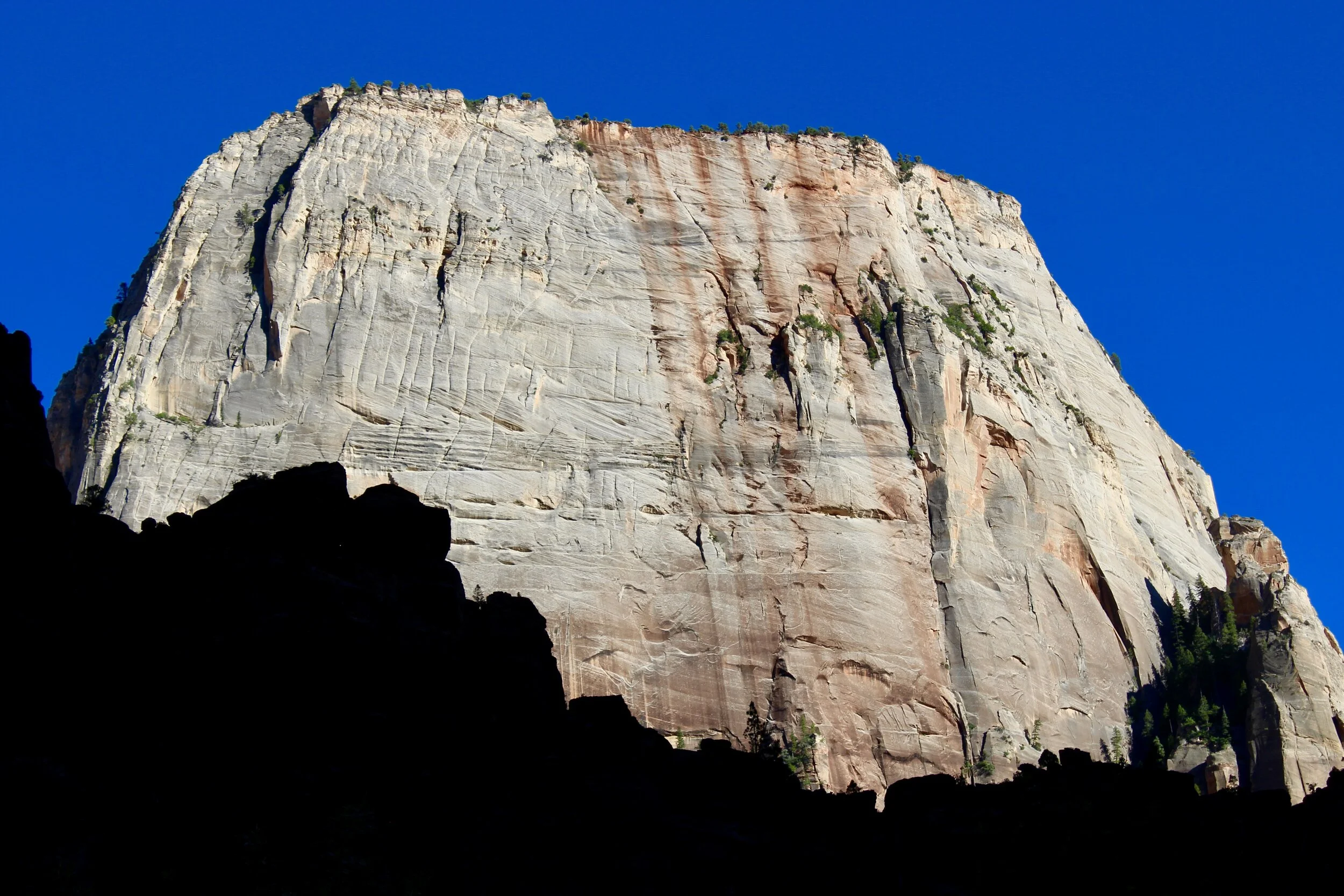
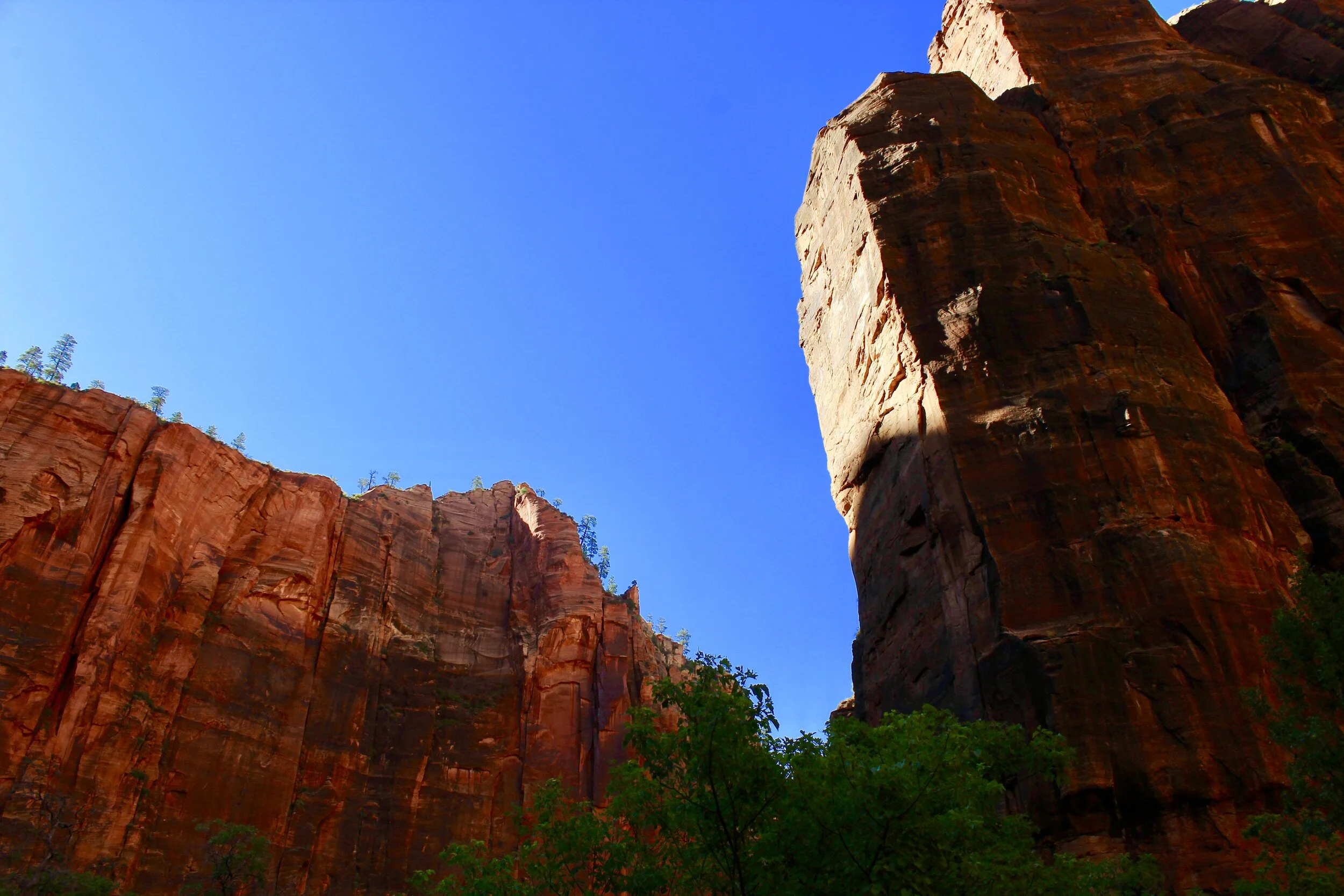
We then headed towards the park’s exit. We had seen everything we hoped for except for the elusive bighorn sheep. These expert climbers had evaded us at Sequoia, Zion and Capitol Reef and it appeared they would avoid us at one more park. Then we suddenly drove by an animal that I initially thought was a deer milling on the side of the road right outside the park’s entrance. On a second glance, I saw the curved horns protruding out of the top of the animal’s head and knew we had finally spotted the mountaineering sheep. I hopped out of the car and retraced my steps to spot a cadre of juvenile bighorn sheep grazing just behind a glowing traffic sign. Although they did not sport the thick, curved horns of their adult counterparts, we were desperate for a bighorn sheep sighting and these little guys were more than enough.
It is worth noting that unlike elk and moose, bighorn sheep have horns instead of antlers. Horns grow from the tip instead of the base and are composed of bone inside a casing of keratin, the same substance that makes up our fingernails. Bighorn sheep also hold onto their horns for life (their iconic “swirl” of horn takes 8 or 9 years to fully grow) and serve a vital purpose during mating season when they ram into each other head first like a running back meeting a linebacker. The 300 pound goats, the largest goat species in North America, crash into each other at a teeth-rattling speed of 40 mph. The resulting “crack” can be heard from a mile away. Unlike human football players, bighorn sheep are actually built to use their head as a weapon thanks to a thick, bony skull, tailor-made for absorbing impacts that would crack open nearly every other skull.

A trio of young bighorn sheep scurry away from the road right outside of Rocky Mountain National Park.

They posed for a quick picture as we drove by.
Bighorn sheep are now so common in Rocky Mountain National Park that park rangers have created a zone where the animals can safely pass the road with their assistance in the spring and summer when they venture down from the mountain peaks to graze the park’s meadows. At the beginning of the park, however, bighorn sheep nearly disappeared from the area like the grizzly bear. The threat these sheep faced was threefold. Hunters often targeted them for their meat and horns. Ranchers also altered their native habitats while introducing domestic sheep that carried a concoction of diseases deadly to their wild relatives. By 1950, the only 150 bighorn sheep left in the park all lived in the areas too extreme for human encroachment. In the ensuing decades, hunting and disease were managed and more bighorns were introduced within the park’s boundaries, helping this remarkable mammal’s population rebound to around 400 individuals strong.
The near local extinction of the park’s famed bighorn sheep illustrates that people have long been attracted to these mountains, but some have used it better than others. Ancient Utes spent part of the year in the park (the Ute Trail off of Trail Ridge Road is a path they used to cross the mountains) for centuries before the Louisiana Purchase in 1803. Half a century later, easterners began to flood to the area, enticed by the prospects of gold. When gold proved scarce, homesteaders moved in, diverting the crystal clear mountain water for crops and livestock. The next group to journey up here were throngs of tourists and by 1915, Rocky Mountain National Park was born.
The steady influx of tourists, which hit 4.67 million visitors to the park in 2019, coupled with the growth of nearby cities like Denver have caused the climate of the park to change. In the past century, the park’s average annual temperature has risen 3.4 degrees (F) throwing off the park’s natural calendar. For example, spring snow melt occurs weeks earlier now, potentially moving up the blooming of spring flowers and causing them to miss the arrival of valuable pollinators like butterflies. Some invasive species like cheatgrass that favor a warmer climate could outcompete native plants adapted to a climate that no longer exists. Native species, like the tiny pikas that live near the mountaintops, are sensitive to even the smallest temperature changes. If their alpine home warms, they will have nowhere else to go, already on the top of the continent. John Denver anticipated the potential degradation of his “Rocky Mountain paradise” in Rocky Mountain High, one of Colorado’s two state songs: “Why they try to tear the mountains down to bring in a couple more, more people, more scars upon the land.”
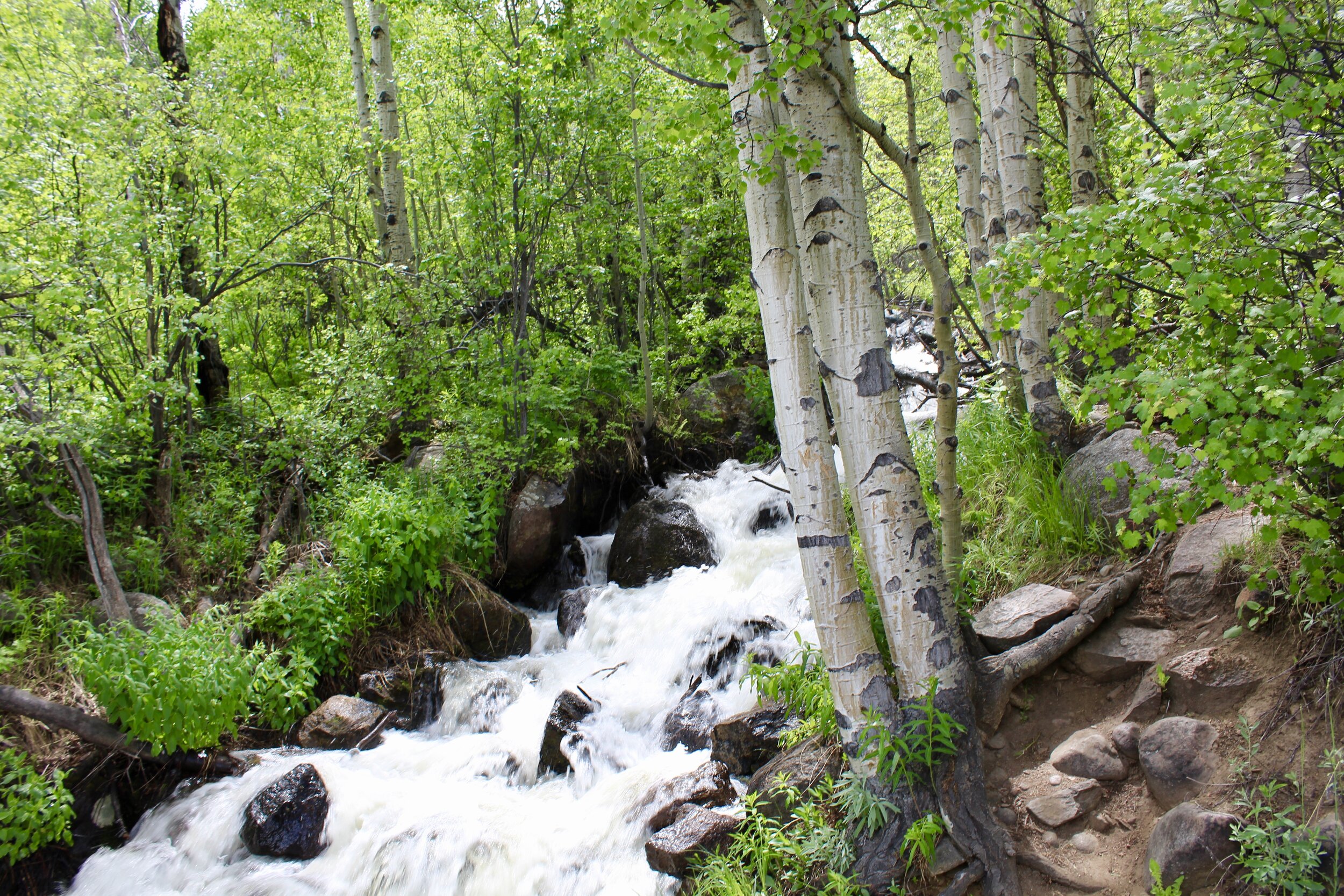
A torrent of white water cascades from the mountaintops alongside Trail Ridge Road.
We thought about this as we left the young band of sheep behind and headed for Evergreen, Colorado where family friends, Pat and Dale, live. Although only half an hour from Denver, their beautiful home in Evergreen is nestled deep in the mountains. Adventurous elk are a common visitor to their home and they once found a sleeping mountain lion curled up under their porch. After playing with their two dogs, Pat cooked up a wonderful pasta and salad dinner for our first home-cooked meal of the trip, and we were able to toss in a load of laundry to prepare for the final push home. On their back porch, an ephemeral late-afternoon rain yielded two towering arches of rainbow above the evergreen-covered mountaintops right before we headed back to Denver.

A double rainbow off of Pat and Dale’s back deck.

Three white-tailed deer mulling around at dusk in Evergreen, Colorado.
As we anxiously navigated the labyrinth of steep mountain roads back to the highway, we ran across three white-tailed deers grazing right after dusk. All of them were muscularly stout males and brandished a pair of velvet antlers atop their heads as they paid us no mind. Even as we wrapped up our day in the Rockies, animals abounded.
Check out these Related Articles

All photos and art by Jack Tamisiea
https://www.nps.gov/romo/learn/nature/naturalfeaturesandecosystems.htm
https://www.nps.gov/romo/learn/nature/geologicactivity.htm
https://www.britannica.com/science/erratic
https://www.nps.gov/romo/learn/nature/montane_ecosystem.htm
https://www.nps.gov/romo/planyourvisit/trail_ridge_road.htm
https://www.nps.gov/romo/learn/nature/subalpine_ecosystem.htm
https://www.nps.gov/romo/learn/historyculture/brief.htm
https://www.nps.gov/romo/learn/nature/alpine_tundra_ecosystem.htm
https://www.nps.gov/romo/learn/nature/ptarmigan.htm
https://www.nps.gov/romo/learn/nature/beavers.htm
https://www.nps.gov/romo/learn/nature/elk.htm
https://medium.com/usfws/11-facts-about-antlers-18e689fe9e60
https://www.mycoloradoparks.com/things-to-do/watch-for-moose
https://animals.howstuffworks.com/animal-facts/dangerous-moose.htm
https://animals.sandiegozoo.org/animals/red-tailed-hawk
https://www.nps.gov/romo/learn/nature/moose.htm
https://www.nps.gov/romo/learn/nature/bighorn_sheep.htm